Seamlessly combine different datasets
Upload your own datasets, connect to live databases or use curated sources.
Upload
Site boundariesAreas you want to analyze
Sales by regionSpreadsheets with locations
More coming soon
Live connections
Store locationsSynced from your warehouse
Operational metricsAlways up to date
More coming soon
Curated sources
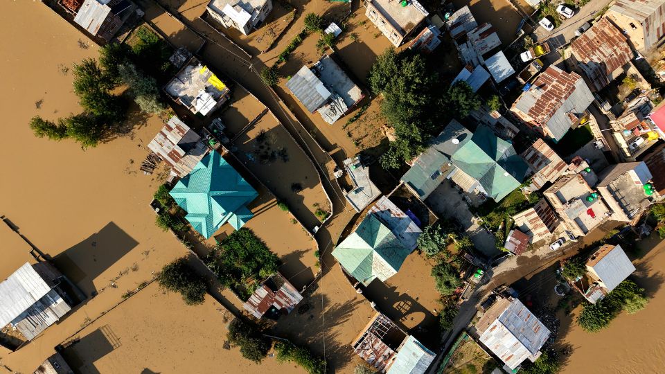
Flood hazard mapsModelled risk layers
Population gridsWho lives where
More coming soon
✨ Agent follow-up
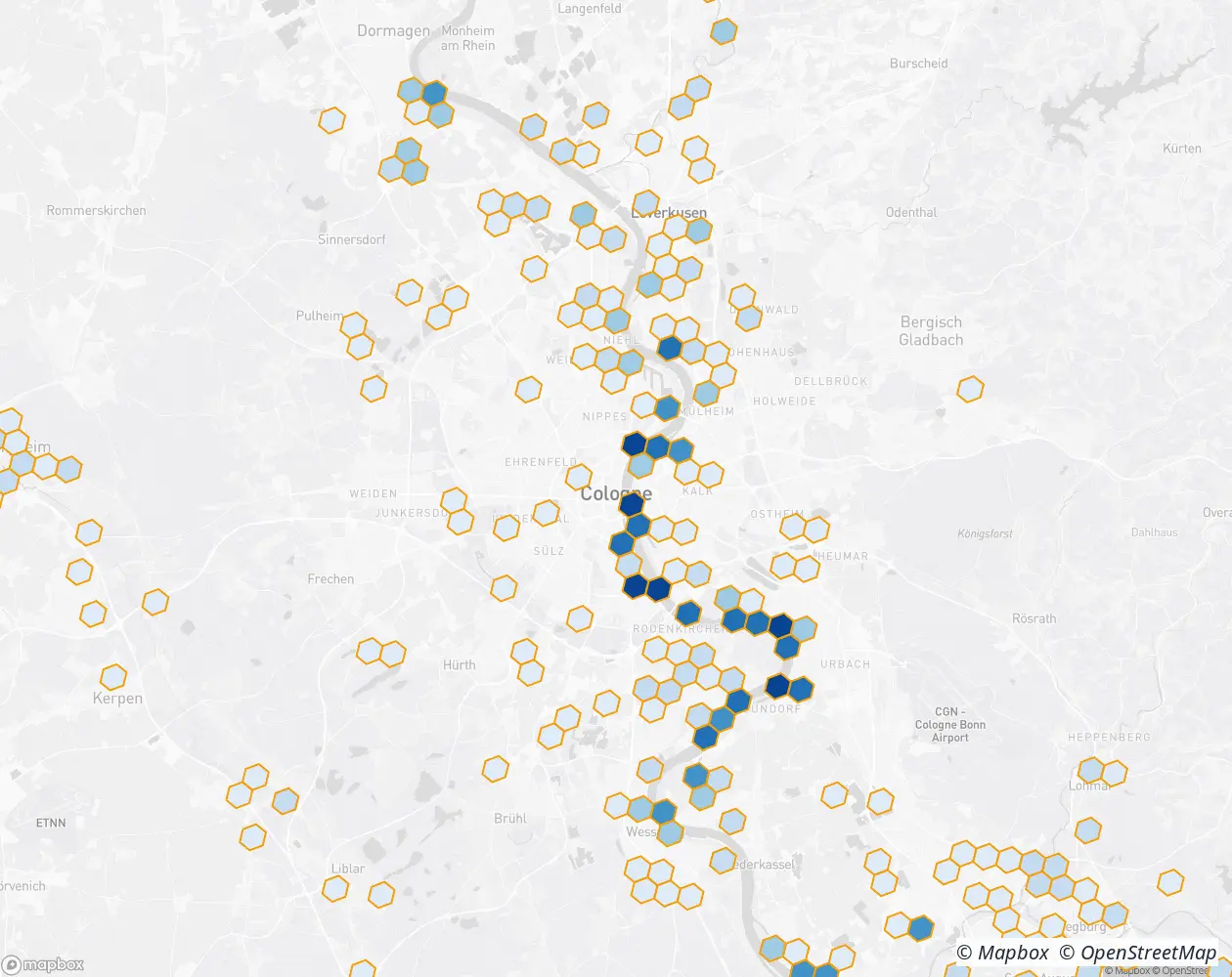
“Should I rank stores by overlap area, or by population exposed inside the flood zone?”
Data sources
Seamlessly combine different datasets.
Upload your own files, plug in live warehouse connections, or pull from curated sources, then ask anything in plain language.